- Project Leader : Hasegawa Hiroyuki (Japan Federation of Land and House Investigators’ Associations)
- Collaborators : Shibayama Mamoru (Kyoto University, Center for Integrated Area Studies)
- : Kobayashi Satoru (Kyoto University, Center for Southeast Asia Studies)
- : Elizabeth Howard Moore (University of London, School of Oriental and Africa Studies)
Outline of Research
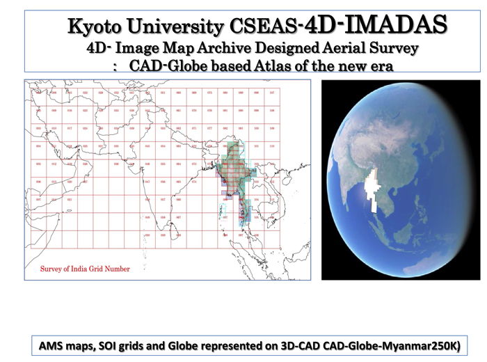
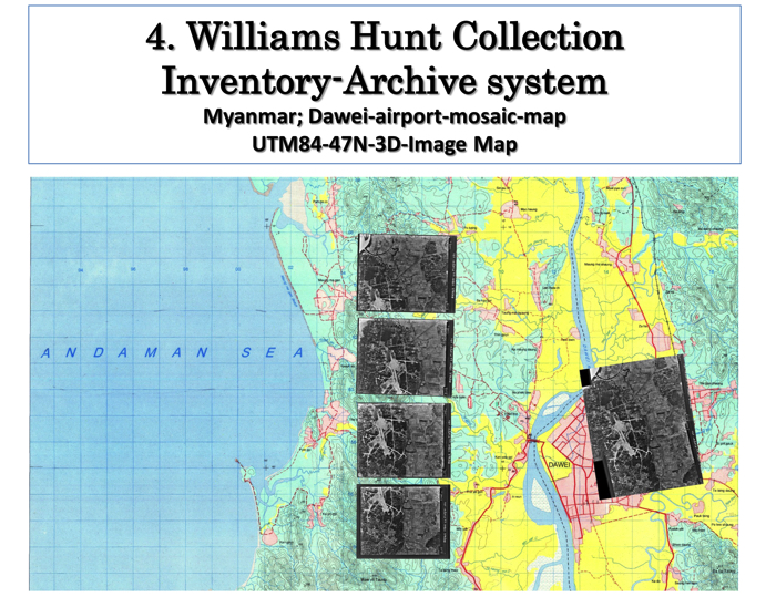
This project aims to develop a new method of studying landscape changes in mainland Southeast Asia by constructing a 3-D-Image Map Archive of William-Hunt Collection (hereafter, WHC). WHC is the sole aerial photo collection in the 1940s-1950s, which covers various areas in mainland Southeast Asia. Its original collection is stored at the School of Oriental and African Studies (SOAS), University of London. The CSEAS map room has a copy. Firstly, this project will examine the photos of WHC in CSEAS and SOAS for making a complete list of them. Then, secondly, the project will develop a 3D Image Map Archive Configuration based on WHC and try to study landscape changes in areas through this new approach.
Description
The project has three purposes. The first is to identify the complete list of the photos of WHC and finalize their digitalization. The second is to develop a 3D Image Map Archive as a technique for identifiny and querying landscape changes by using aerial photos and photogrammetry. The third objective is to study social changes of Southeast Asian Continent after mid 20th century, using the WHC aerial photos.
This project has a groundbreaking role to develop a new method of historical area studies. This project will contribute to the Southeast Asian research community studying Southeast Asia before World War II by establishing a WHC database of at both CSEAS and SOAS.
This research will try to acheive three fruitful results: (1) complete the digitalization of WHC, (2) develop a new approach of 3D Image Maps for studying landscape changes, (3) test the new technology for studying landscape changes in mainland Southeast Asia. By pursing these 3 goals, this project will contribute to the full use of WHC, one of the best materials for researching archaeology, economic geography, history and geoinformatics in mainland Southeast Asia.


