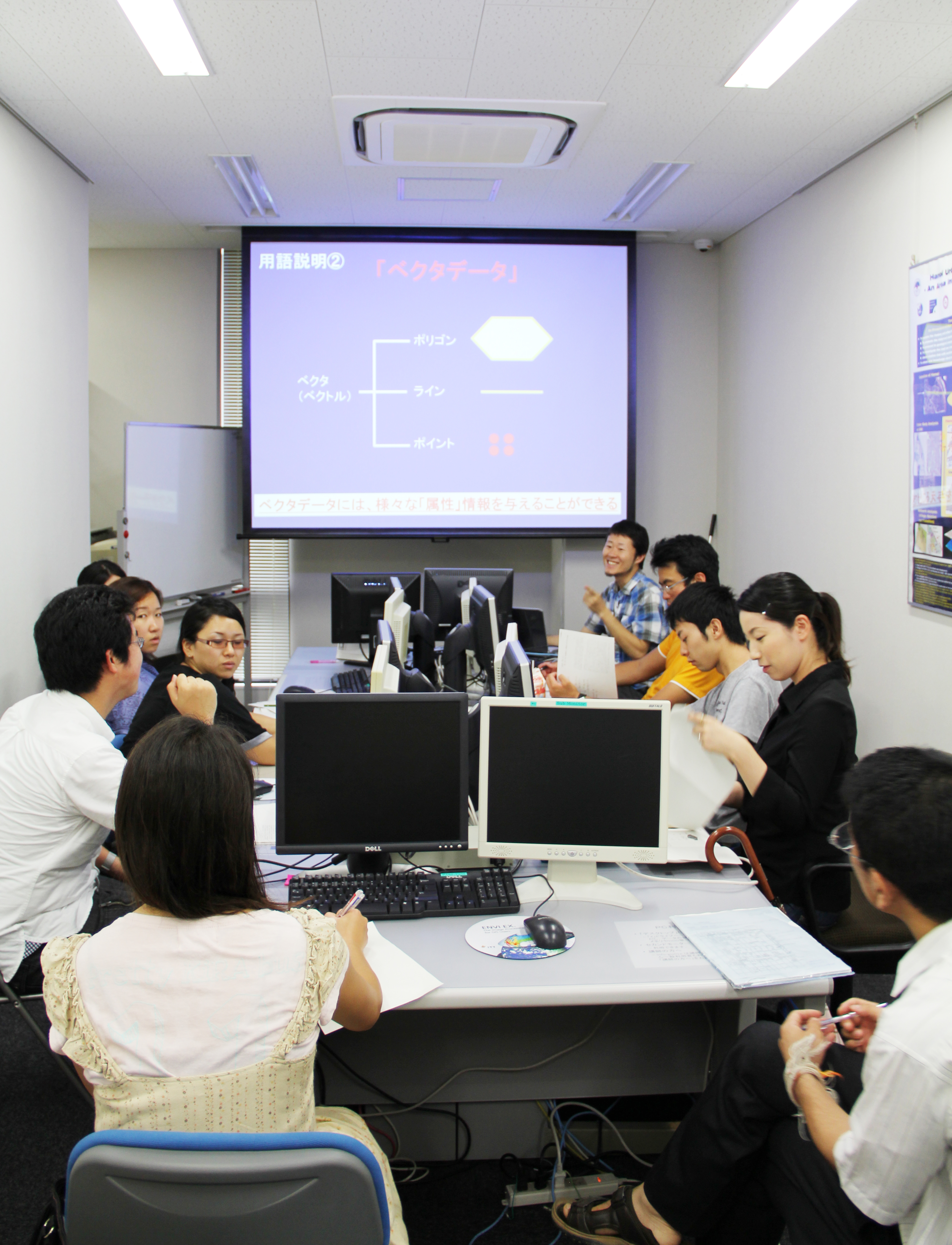
GIS Laboratory
The GIS research and Education Laboratory was established in 2004. At present, ArcGIS English version runs on 4 machines and they are utilized for lectures as well as research. In addition, one workstation was also installed with special GIS software and image processing software, such as ERDAS Imagine Professional, Definiens eCognition Developer and Adobe Creative Suite. The laboratory also has a B0 plotter and A0 scanner to digitize and output large scale map for GIS analysis.
* The GIS laboratory service will be closed at February 29, 2016.
Thank you very much for your use.
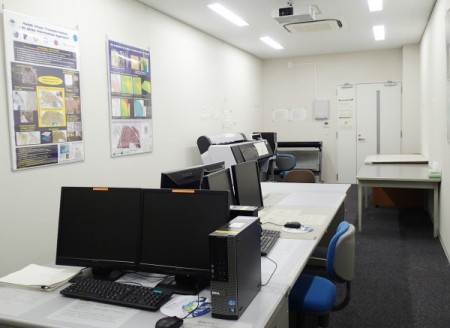
GIS Laboratory: 4 PCs for education and one workstation were set.